Rapid mapping
Earth observation Humanitarian disaster Natural disaster
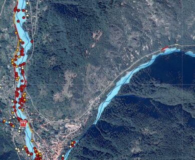
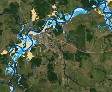
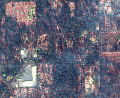
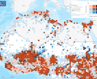
ICube-SERTIT's rapid mapping service, operational 24/7/365, provides real-time geoinformation derived from spatial imagery to those involved in risk management, crisis management and disaster reconstruction.
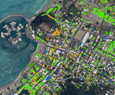
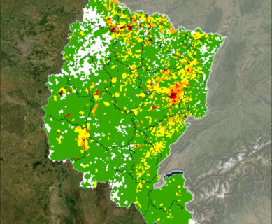
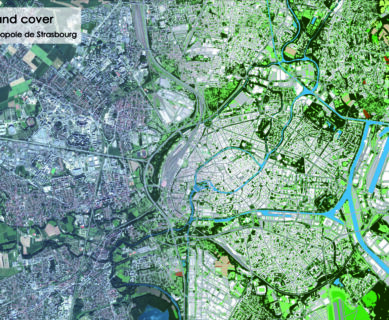
ICube-SERTIT responds to societal needs by offering solutions to sustainable development issues such as regional planning, natural resource management, the environment and risk management.
ICube-SERTIT can pass on its expertise in geomatics and remote sensing through tailor-made training courses.