Implementation of a methodology combining 2D hydraulic modeling and satellite images for the definition of the maximum flood extent and inundation depths
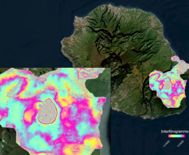
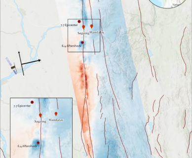
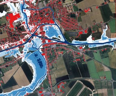
Increasingly frequent and destructive floods leave a lasting mark on territories and on people. They stand out as the natural hazard accounting for the highest number of activations within the emergency mapping program – Copernicus Emergency Management Service – Rapid Mapping (CEMS RM) (Maxant, J. et al., 2022). To meet the needs of risk and […]