• en
  • fr
  • Sertit

    Uncategorized Sertit 

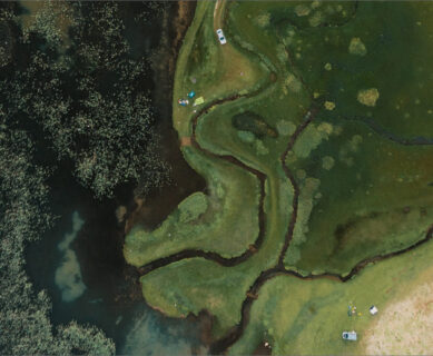
    Fitri Lake Water Extent

    LWE derived from Sentinel-2 time series, ICube-SERTIT processing ExtractEO, an automatic water detection workflow developped by ICube-SERTIT, was applied to the Sentinel-2 time series covering Fitri Lake from January 2017 to February 2021, deriving a lake mask for each Sentinel-2 acquisition date. The ExtractEO pipeline downloaded 246 Sentinel-2 images from the CREODIAS platform and detected […]

    Carte due du ciel

    AFNOR CERTIFICATION RENEWAL

    AFNOR Certification has renewed ICube-SERTIT’s Rapid Mapping Service ISO 9001:2015 certification for the next 3 years, for its « Production of crisis and emergency geo-information for civil protection, defence, security, and insurance sectors with publication within strict delays after satellite data reception ». With this success in mind, ICube-SERTIT will endeavor to integrate all of its activities […]