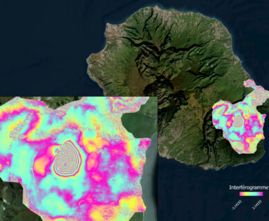
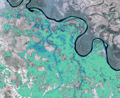
18.02.2026 Implementation of a methodology combining 2D hydraulic modeling and satellite images for the definition of the maximum flood extent and inundation depths
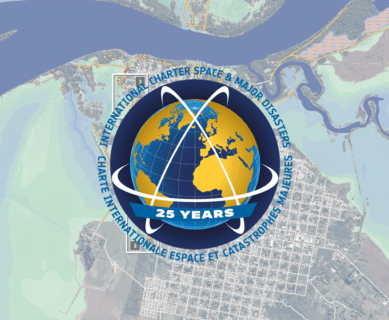
15.10.2025 The International Charter on Space and Major Disasters celebrates its 25th anniversary, a milestone that coincides with the CNES assuming the Charter’s presidency from October 2025 to April 2026.
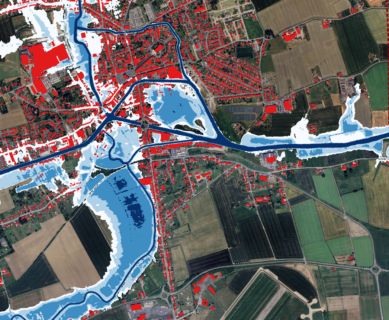
07.02.2025 INterpolated FLOod Surface (INFLOS), a Rapid and Operational Tool to Estimate Flood Depths from Earth Observation Data for Emergency Management